Commitment Ceremony
Jan. 12th, 2026 10:53 am
Preview of the 2026 PMC rider's jersey.
Welcome to 2026! A new year has begun, and with it, new aspirations and goals. By far my biggest objective for the year is my 20th Pan-Mass Challenge.
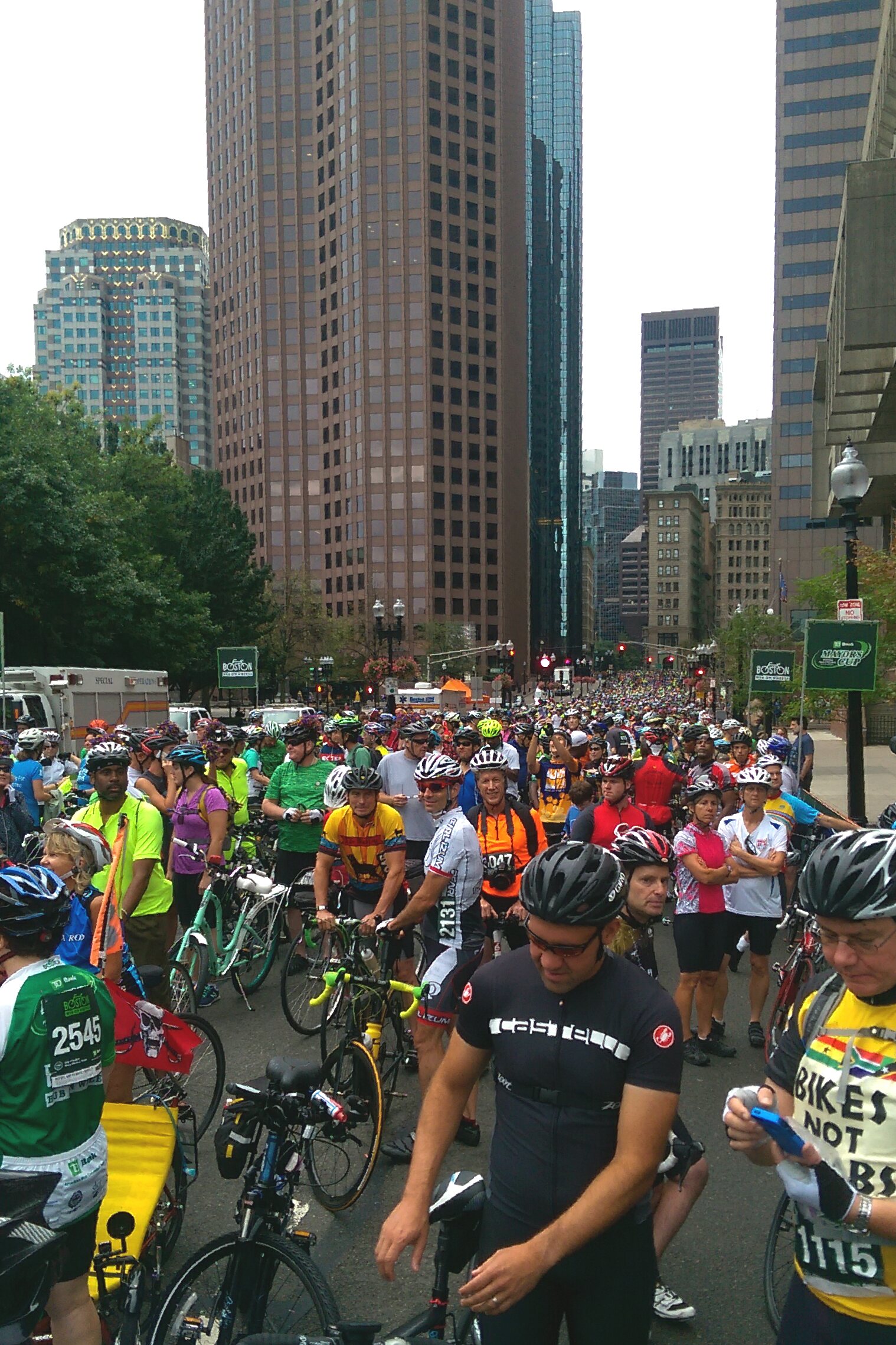
In a sense, this will be my most ambitious PMC ever. Not because of the riding, but because – instead of riding remotely as I’ve done since 2020 – this year I’m undertaking the trip back to Boston to take part in the mass in-person event for the first time since 2014, while also surpassing a lifetime fundraising total of $150,000 for the Dana-Farber Cancer Institute.
Having never traveled with my bike before, the logistics of getting myself and my bike to Boston, renting a vehicle, securing lodging, and doing the ride are intimidating. That’s why I‘ve done my last five PMC rides solo and remotely in Pittsburgh and Austin.
When I wrote about this year’s PMC in my 2025 end-of-year summary a couple weeks ago, it was with a measure of precaution. I figured I could always back out of the trip if necessary. After all, I’ve come up short on some previous annual goals, so it wouldn’t be the end of the world, right?
But time has a cruel sense of humor. Only nine days after posting about this year’s goal, registration for the 2026 PMC ride opened. And since the most desirable routes sell out very quickly, you really have to sign up as early as you can.
So today I registered for the traditional two-day route, which – beginning this year – now runs from Worcester to Provincetown. Registration includes a binding promise to raise a minimum of $6,000. And for me, it sets in stone my commitment to make the trip back to Boston to ride.
For me, the most insidious of the Pan-Mass Challenge’s slogans is “Commit: you’ll figure it out”, referring to the dual challenge of a formidable 300-kilometer bike ride and the daunting $6,000 fundraising minimum.

But this year it also applies to my individual challenge: the logistics of getting myself, my bike, my support person, and all my gear from Texas to the starting line in Worcester… A journey that I’m now fully committed to, after having completed my registration.
Of course, I have enough wisdom to realize that these are just typical jitters about doing something new and unfamiliar. The travel will be planned and executed. And my Team Kermit buddies are a helpful example, having made this commute annually for Austin’s Livestrong Challenge. So now that I’m committed, I just need to trust that I will indeed “figure it out”.
And I know it’s going to be worth the discomfort. I’ll see lots of very dear New England riding buddies whom I’ve missed greatly. And I’ll get to celebrate with some of my oldest friends and most loyal and generous PMC sponsors. I’ll be riding over roads I haven’t seen in 12 years that hold so many personal and poignant memories, while cancer patients and their families line the entire route, thanking us for helping fund the research that they or their loved ones have benefited from. I’ll be celebrating my 20th PMC ride, and taking pride from the accomplishment of raising $150,000 for cancer research. And with enough help from my donors, I might even qualify for PMC “Heavy Hitter” status for the 10th time. It’s gonna be an awesome trip, I know.
There’s so much to look forward to, and I’m certain the reality will be far more powerful than I can convey to you here, or in my followup ride report.
You’ll hear me say it often, once I kick off this year’s fundraising push in a few months, but I do hope you’ll be part of my celebratory 20th PMC ride, in one way or another.
But until then, in addition to lots of anticipation and a whole lot of riding, I’ve gotta get to work on that “figure it out” part of my 2026 Pan-Mass Challenge. Let’s get to it!


 Today I took an easy little ride from Quad Cycles with Jer & Sha (and made my first stop at Kimball’s Farm this year), but along the way, on the Minuteman bike path, my cyclometer tripped 10,000 miles. That’s an event worth observing.